|
King's
Cross Central Development:
Background
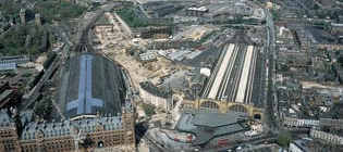
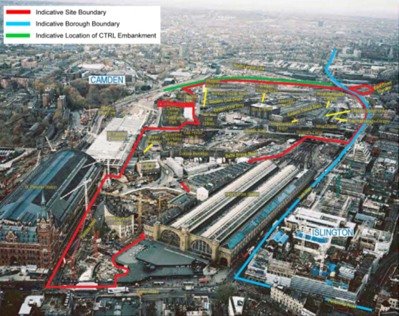
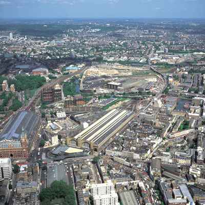
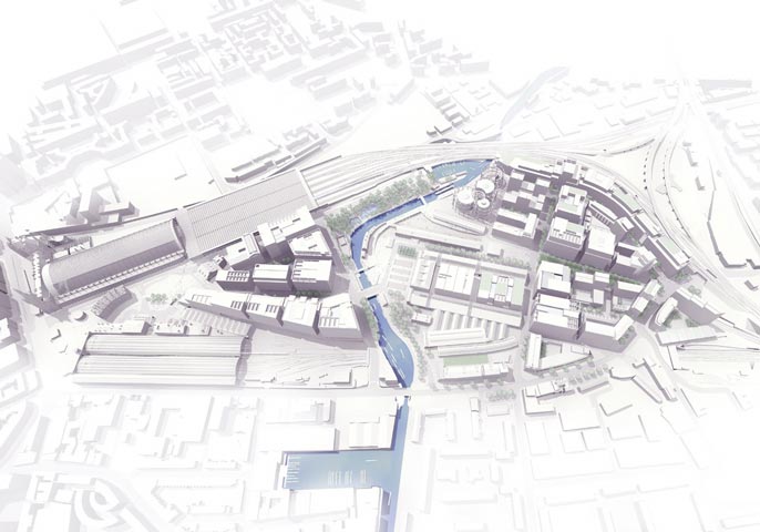
The
majority of the King’s Cross Central site is controlled by
London & Continental Railways (LCR) and Exel. In total, both
parties own land comprising 29 hectares (72 acres), which lies
between and behind St Pancras and King’s Cross Stations,
within the boroughs of Camden and Islington (Image 1 & 2).
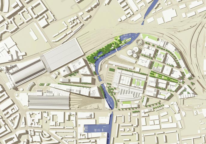
Whilst part of the site will be taken up by new infrastructure
for the CTRL connection with St Pancras Station, over 23 hectares
(58 acres) will be available for development once the CTRL construction
works are completed in 2006 (Images 3 & 4). However, completion
of the works is unlikely to be before 2015.
Construction
Details
Argent-St-George
state that the development will comprise of retail, leisure,
health, education and cultural
buildings, as well as 1,800 new homes, and up to thirty thousand
jobs. In addition 20 major new public routes
and 10 major new public spaces covering 25 acres (37% of the whole
site), will be created as well as three new bridges across the
Regent's Canal.
|
|