Information
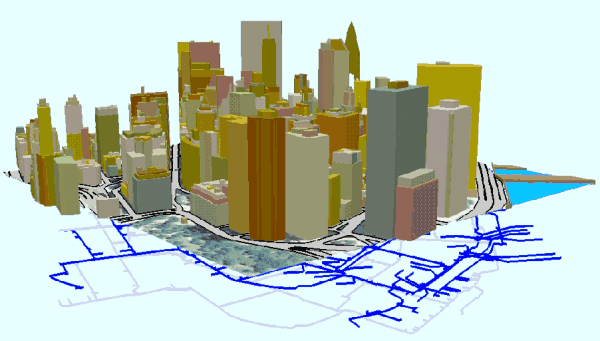
rich 3d computer modeling of Urban Environments
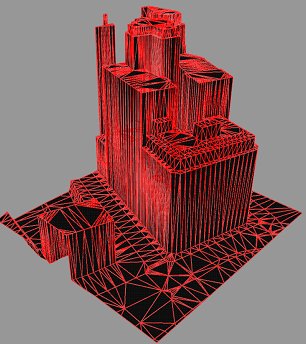
Generating 3d GIS... the Photogrammetric approach
 |
 |
|
|
+ Height accuracy + Integrates with GIS and other 'spatial data' |
- Relatively expensive to produce - Can have high polygon count |
 |