| [To the 1970's ...] |
 |
[To the 1970's ...] |
|
19 |
 |
80 |
|
During his Doctoral studies at Yale School of Forestry and Environmental Studies, Dana Tomlin has developed the Map Analysis Package (MAP). MAP is a raster-based GIS that was eventually installed at several thousand locations around the world. [More...] |
 |
|
|
19 |
|
81 |
 | |
ESRI launched ARC/INFO. [Link...][More...] |
|
The Global Positioning System (GPS) project become operational with the contract for qualification satellites (GPS12) [Link...][More...] |
|
 |
|
19 |
|
82 |
 | |
The SPOT Image comapny founded - the first commercial company established to distribute geographic information derived from Earth Observation Satellites on a worldwide basis. [Link...][More...] |
|
19 |
|
83 |
|
ETAK digital mapping company formed. [Link...][More...] |
|
 |
|
19 |
|
84 |
|
|
|
The First International Spatial Data Handling Symposia held.[More...] |
|
Marble, Calkins & Peuquet "Basic Readings in Geographic Information Systems" published.[More...] |
|
|
|
19 |
|
85 |
 | |
GRASS - Geographic Resources Analysis Support System development begins in the US Army Construction Engineering Research Laboratories [Link...][More...] |
|
19 |
|
86 |
|
Mapinfo founded [Link...][More...] |
|
 |
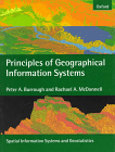 | |
Peter Borrough's book Principles of Geographic Information Systems for Land Resources Assessment was published. [Buy...][More...] |
|
The first SPOT satellite launched. [Link...][More...] |
|
 |
|
19 |
|
87 |
|
|
|
"Handling Geographic Information : the report of the Committee of Inquiry" (The Chorley Report). An important report that did much to foster the development of GIS in the United Kingdom.[More...] |
|
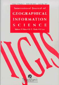
The International Journal of Geographical Information Systems is published. [Link...][More...] |
|
 |
 | |
Idrisi Project started by Ron Eastman at Clark University. [Link...][More...] |
|
SPANS GIS produced by Tydac was released. [Link...][More...] |
|
 |
|
19 |
|
88 |
|
|
|
UK's Regional Research Laboratory (RRL) Initiative.[More...] |
|
The First GIS/LIS Conference held.[More...] |
|
|
 | |
The first public release of the US Bureau of Census TIGER (Topologically Integrated Geographic Encoding and Referencing) digital data product. [Link...][More...] |
|
Smallworld founded. [Link...][More...] |
|
 |
|
|
|
The GIS-L Internet list-server started by Ezra Zubrow, State University of New York at Buffalo.[More...] |
|
The National Centre for Geographic Information and Analysis NCGIA established in the USA. A core funding of $9,800,148 (Estimated) was secured through NSF award 8810917. The abstract of the award announces: "This award for a National Center ... [Link...][More...] |
|
 |
|
19 |
|
89 |
 | |
The Association of Geographic Information (AGI) formed in the UK. The AGI is the national coordinating body for GIS in the United Kingdom (UK).It was a founding member EUROGI - the European Umbrella Organisation for GIS - and draws its members ... [Link...][More...] |
|
Stan Aronoff's book Geographic Information Systems : a Management Perspective was published. [Buy...][More...] |
|
|
|
|
|
Integraph launches MGE. [Link...][More...] |
| [To the 1990's ...] |
 |
[To the 1990's ...] |